# Satellite Imagery
Latest news and articles about Satellite Imagery
Total: 8 articles found
Resilient Underground: Why Iran’s Missile Network Proves Impervious to US Precision Strikes
Satellite imagery reveals that Iran has restored most of its underground missile bases despite recent strikes, clearing 50 of 69 damaged tunnel entrances. The rapid recovery of these facilities and the restart of drone production underscore the limitations of Western air power against deeply buried infrastructure. This resilience highlights a strategic failure to permanently neutralize Tehran's missile capabilities through surgical strikes.
A Region Under Fire: Iranian Precision Strikes Strain U.S. Military Footprint in the Middle East
Recent investigations reveal that Iranian strikes have damaged 16 U.S. military facilities across eight Middle Eastern countries, targeting expensive radar and communication systems. The cost of the conflict has reportedly surged toward $50 billion, sparking internal debate over the strategic sustainability of the U.S. regional presence.

Blinded in the Sky: Why Planet Labs is Cutting the Feed on the Iran Conflict
Planet Labs has suspended satellite imagery of Iran conflict zones under U.S. government pressure, effectively ending a period of open-source transparency. The move follows high-stakes military incidents in the region and signals a return to state-controlled information narratives.

Eyes in the Sky Go Dark: Washington Reasserts Shutter Control Over Private Satellites
Planet Labs has indefinitely halted satellite imagery services for Iran and Middle East conflict zones following a direct request from the U.S. government. The move aims to protect military assets from adversarial exploitation, signaling a retreat from the open-source intelligence era during times of high-stakes conflict.

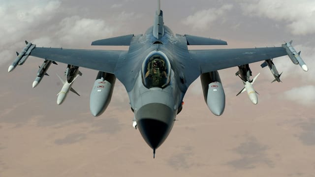
Blinded in the Desert: Iranian Strike Destroys Vital US Surveillance Aircraft in Saudi Arabia
Satellite imagery has confirmed the destruction of a U.S. E-3 Sentry AWACS aircraft following an Iranian missile and drone strike on a Saudi Arabian air base. This loss represents a significant tactical blow to U.S. regional surveillance capabilities and marks a bold escalation by the IRGC.

Eyes in the Sky: Iran’s Satellite Propaganda and the Fragility of Regional Deterrence
Iran has released high-definition satellite imagery of strikes on U.S. bases, signaling a leap in its domestic surveillance and propaganda capabilities. The development, amplified by Chinese media, highlights a shifting regional balance where technological parity in space is increasingly used to challenge American military dominance.

Tehran’s High-Altitude Hubris: Iranian Satellite Imagery Tracks Strikes on US Regional Assets
Iran has released satellite imagery showing recent strikes on U.S. military bases in Syria and Kuwait, highlighting a sophisticated leap in its surveillance and targeting capabilities. The move serves as a high-stakes message of deterrence aimed at challenging the American military footprint in the Middle East.

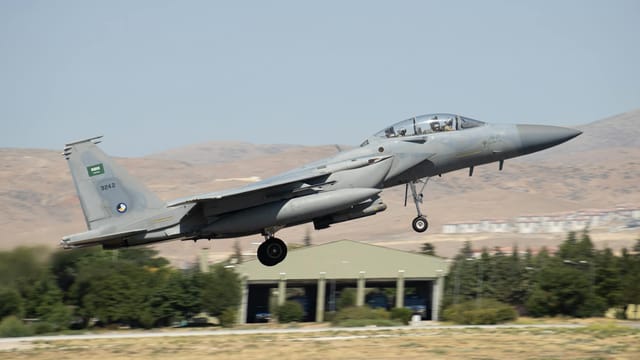
The Blinded Giant: Tehran Asserts Strategic Strike on US Aerial Command
Iran has released satellite imagery claiming to confirm the destruction of a U.S. E-3 Sentry AWACS, a critical command-and-control aircraft. This claim, amplified by Chinese state media, represents a massive escalation in regional tensions and a direct challenge to U.S. aerial dominance.