# satellite imagery
Latest news and articles about satellite imagery
Total: 8 articles found

U.S. and Israel Renew Strikes on Iran’s Underground Missile Sites, Satellite Imagery Shows
Satellite imagery and analysis indicate U.S. and Israeli strikes have renewed focus on Iran’s underground ballistic missile facilities, including sites rebuilt after June 2025 attacks. The use of B‑2 bombers with large penetrator warheads signals an effort to reach buried infrastructure, but eliminating such capabilities without ground forces is unlikely to be decisive.

Satellite Images Show Damage to Tehran Presidential Complex After Israel Says It Struck Leadership Buildings
Commercial satellite images released by the Associated Press show damage to Iran's presidential complex in Tehran after the Israel Defense Forces said it struck a leadership compound. The IDF claims a large-scale overnight airstrike that hit the presidential palace and other high-level sites, a development that risks significant regional escalation and complicates international diplomatic responses.
Satellite Images and Video Show Iran Targeted US Communication and Radar Systems at Multiple Middle East Bases
Satellite imagery and verified video analyzed by the New York Times show Iranian strikes damaged communications and radar systems at at least seven U.S. bases in the Middle East, including Bahrain’s Fifth Fleet headquarters and Al Udeid in Qatar. The targeted hits on radomes and satellite terminals appear intended to degrade U.S. command-and-control and surveillance capabilities, complicating operations and raising the risk of further escalation.

Satellite Images Show Tehran Residence After Strike as Iran Confirms Khamenei’s Death
CBS released satellite imagery showing damage to Ayatollah Khamenei’s Tehran residence after a February 28 strike that Iranian media say killed the supreme leader. Iran has declared 40 days of mourning and the IRGC has promised retaliation, raising the prospect of a dangerous regional escalation and uncertain succession in Tehran.
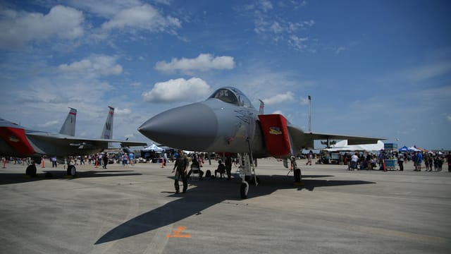
Satellite Photos Show 11 U.S. F-22 Raptors Land in Southern Israel — A High‑stakes Signal of Deterrence
Satellite images show 11 U.S. F-22 stealth fighters at Ovda Airbase in southern Israel, part of a recent U.S. deployment to the Middle East. The move is a significant signal of deterrence and deepened military cooperation between Washington and Jerusalem, with implications for regional escalation and force posture.

Satellite Images Show Strike on Khamenei’s Tehran Compound as Israel Says It Targeted Iranian Leaders
Satellite images released by Chinese state media appear to show an attack on the Tehran compound linked to Ayatollah Ali Khamenei, while an Israeli official said the IDF targeted several senior Iranian leaders. Iran says Khamenei was not in Tehran and was moved to a secure location; the incident raises the risk of significant regional escalation and political fallout within Iran.

Chinese Report Says U.S. Military Used Anthropic’s ‘Claude’ in Venezuela Operation — Raising New Questions About AI’s Role in Warfare
A Chinese outlet reported that the U.S. military used Anthropic’s AI model Claude to analyse imagery and intelligence in an alleged January operation to remove Venezuela’s president. The claim is unverified, but highlights tensions between AI firms seeking use-limiting safeguards and defence customers seeking broad access, and raises urgent questions about oversight and the geopolitics of commercial AI in warfare.
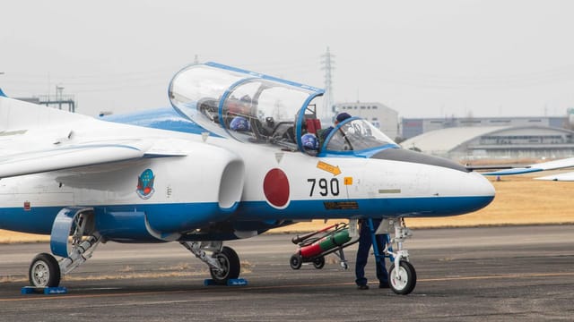
Satellite Images Show Japan’s Izumo-Class Ships Becoming Carrier-Capable — A Regional Turning Point
Satellite imagery through November 2025 shows visible progress in Japan’s retrofit of its Izumo-class ships to operate F-35B fighters, with bow reshaping and hangar upgrades under way. Tokyo plans to complete the conversions by fiscal years 2027–2028, a move that enhances U.S.-Japan interoperability but has drawn strong objections from Beijing, which frames the changes as a dangerous turn toward re-militarisation.