
Policy & RegulationAnalysis
China Conducts Marine Geophysical Survey in Waters East of Taiwan
Natural resources institute gathers seabed and crustal data to support national spatial planning and marine governance.
Share
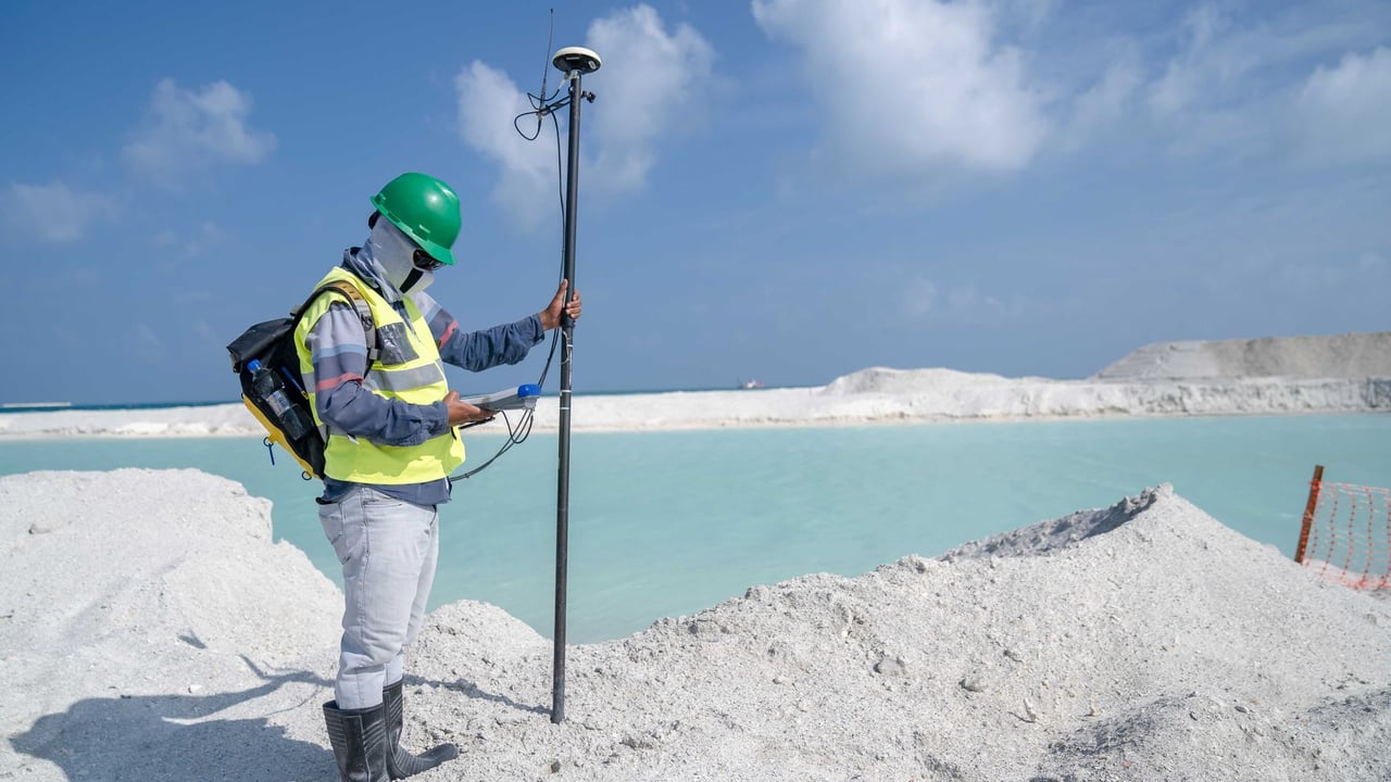
Photo by Asad Photo Maldives on Pexels
The Brief
China's Ministry of Natural Resources carried out a multi-week geophysical survey in waters east of Taiwan Island in late August, according to state media reports. Conducted by the Second Institute of Oceanography between August 10 and August 31, the mission deployed multi-beam bathymetry, multi-channel seismic profiling, and ocean-bottom seismometers to record seabed topography and deep geological structures. Chinese authorities stated the findings will support national territorial spatial planning databases and provide scientific data for maritime administration in waters Beijing identifies as under its jurisdiction.
Why it matters
The expedition represents a systematic effort to gather first-hand baseline geophysical data on seabed sediments, crustal formations, and dynamic tectonics in the deep waters east of Taiwan. In addition to contributing to geological and oceanographic research, the survey generates baseline data that Beijing uses to reinforce its domestic administrative framework, maritime monitoring, and spatial planning over surrounding waters.
China context
The Ministry of Natural Resources has been actively expanding its integrated land-and-sea territorial spatial planning initiative, known internally as the "one map" system. Conducting structured scientific voyages east of Taiwan allows the ministry to incorporate deep-water oceanographic data into national resource catalogs, reflecting Beijing's institutionalization of regular research and resource oversight across claimed maritime zones.
Editor's View
EDITOR'S VIEW — Analysis and inference, not factual reporting.
While Chinese official releases emphasize environmental baselines, basic earth science, and domestic spatial planning, publicizing marine surveys east of Taiwan also carries clear geopolitical undertones. The waters east of the island form a critical deep-water corridor connecting the East and South China Seas with the wider Pacific. By framing these expeditions through civilian regulatory agencies rather than solely military channels, Beijing strengthens its administrative narrative and normalizes its state scientific footprint across the area.
What to watch
- Publication of resulting academic papers, tectonic models, or official geological mapping based on the collected datasets.
- Whether the Ministry of Natural Resources announces recurring or expanded survey routes across the Philippine Sea basin east of Taiwan.
- Reactions or corresponding monitoring efforts by authorities in Taiwan and regional neighbors regarding Chinese oceanographic vessel activity in these waters.
Key Takeaways
- 1The Second Institute of Oceanography conducted a comprehensive geophysical survey east of Taiwan Island from August 10 to August 31.
- 2The expedition utilized multi-beam bathymetry, multi-channel seismic, ocean-bottom seismometer, and gravity-magnetic techniques.
- 3Surveys captured baseline data on seafloor topography, sedimentary strata, deep crustal formations, and local geophysical fields.
- 4The findings are earmarked to feed into China's territorial spatial planning "one map" system and support marine administration in claimed waters.
Between August 10 and August 31, China's Second Institute of Oceanography, an institution under the Ministry of Natural Resources, conducted a comprehensive marine geophysical survey in waters east of Taiwan Island, according to state media reports published by Xinhua and CCTV.
According to the Ministry of Natural Resources, the operation was designed to acquire a comprehensive picture of the baseline geology and seabed structural characteristics in maritime zones Beijing identifies as falling under its jurisdiction. The collected datasets are intended to directly support the ministry's natural resource governance and its development of a unified "one map" platform for national territorial spatial planning.
During the three-week expedition, researchers utilized multidisciplinary, simultaneous survey techniques to gather marine environmental data. Technical systems deployed during the voyage included multi-beam bathymetry, multi-channel seismic reflection, ocean-bottom seismometer deployments, and gravity and magnetic field sensors. Together, these tools collected measurements covering seafloor topography, sedimentary strata, deep geological formations, and regional geophysical fields.
Official releases indicated that the operation fulfills both regulatory and basic scientific research functions. Academically, the collected data will supply raw material to study seabed deposition, tectonic faulting, deep crustal architecture, and geodynamic evolution in the western Pacific plate boundary zone east of Taiwan.
From an administrative perspective, the ministry described the expedition as providing an empirical scientific foundation for comprehensive governance and resource tracking in the sea area. The mission aligns with ongoing efforts by Beijing to integrate maritime spatial management with broader continental environmental and land-use mapping frameworks.
Sources
- 自然资源部组织开展我国台湾岛以东管辖海域海洋地球物理综合调查 — National Business Daily · 9/3/2026
- 我国开展台湾岛以东管辖海域海洋地球物理综合调查--经济·科技--人民网 — People's Daily · 9/3/2026