
Daily BriefAnalysis
Cross-Border Debris Flow Hits Tibet's Gyirong Port as Flood Threat Eases
Following severe casualties from an August landslide originating in Nepal, downstream evacuations end as an upstream barrier lake safely discharges.
Share
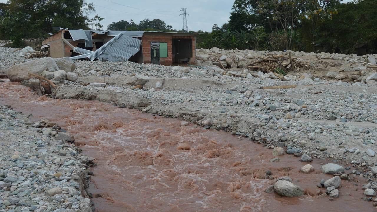
Photo by Franklin Peña Gutierrez on Pexels
The Brief
A severe cross-border debris flow originating in Nepal on August 26 struck Gyirong Port in southwestern Tibet, causing significant casualties and missing persons while damming an upstream river. In response to the resulting barrier lake, Chinese local authorities evacuated nearly 500 residents across five villages. Officials confirmed on September 7 that the lake has completely drained and channel flow has normalized, clearing the way for displaced villagers to return home. Leading geologists have launched on-site investigations into the broader chain of hazards in the high-altitude Himalayan valley.
Why it matters
Gyirong Port is a primary overland trade and transit corridor connecting China and Nepal. The disaster highlights the acute vulnerability of high-altitude Himalayan mountain passes to cascading, cross-border geological events that originate outside domestic borders and pose complex challenges for infrastructure engineering and early-warning systems.
China context
Southwestern Tibet's steep, fragile terrain faces elevated risks from volatile weather and high-altitude slope failures. Beijing routinely pairs high-level technical expertise from the Chinese Academy of Engineering with intensive grassroots mobilization—deploying local party cadres to maintain deserted villages and secure livestock—to manage displaced populations and maintain borderland stability during natural disasters.
Editor's View
EDITOR'S VIEW — Analysis and inference, not factual reporting.
Cross-border geohazards in the Himalayas represent a critical challenge where national civil defense boundaries cannot isolate domestic infrastructure from upstream events. When instability in Nepal directly impacts strategic transit hubs like Gyirong Port, purely domestic engineering is insufficient. This incident will likely drive Beijing to seek expanded bilateral monitoring pacts and automated hydrological sensor networks with Kathmandu to track high-altitude hazards before they cross the frontier.
What to watch
- Release of the final scientific findings by Yin Yueping's team regarding the debris flow's trigger mechanisms.
- Progress on repairs to damaged border infrastructure and the full resumption of freight and customs clearance at Gyirong Port.
- Potential bilateral steps between China and Nepal to establish shared early-warning and real-time monitoring mechanisms along transboundary river basins.
Key Takeaways
- 1An August 26 debris flow originating in Nepal crossed into Tibet's Gyirong County, causing major casualties and missing persons at Gyirong Port.
- 2The disaster created an upstream barrier lake, forcing the evacuation of 499 residents across five local border villages.
- 3Hydrological monitoring confirmed the barrier lake has fully discharged, allowing all evacuated villagers to begin returning home.
- 4Chinese Academy of Engineering academician Yin Yueping is leading an expert investigation into the disaster's cascading trigger mechanisms.
A catastrophic debris flow that began on the Nepalese side of the Himalayas on August 26 crossed into Gyirong County in Tibet's Xigaze Prefecture, inflicting heavy casualties and leaving individuals missing around the critical border crossing of Gyirong Port, according to official Chinese media dispatches.
The massive volume of displaced rock and silt blocked the local river channel upstream of the port's core area, creating a hazardous barrier lake that posed a secondary outburst threat to nearby residential settlements. In response, local authorities enacted an emergency evacuation of 499 villagers from five communities across Gyirong Town and Sale Township, transferring them into temporary municipal relocation facilities.
While displaced residents remained in shelters, local village officials, work teams, and volunteer party cadres established on-site defense groups to maintain abandoned homesteads, care for domestic livestock, and share daily video updates with evacuees to reduce distress during their displacement.
Following continuous hydrological monitoring and on-site engineering assessments, disaster response officials reported that the barrier lake has safely and fully discharged. The river channel has returned to normal flow conditions, effectively lifting the emergency flood risk. On September 7, organized convoys began repatriating 180 residents from Guoba Village back to their homes, following the earlier return of residents from Chongse, Labi, and Seqiong villages.
As immediate relief operations transition to recovery, Chinese scientific authorities are focusing on the underlying geological causes of the transboundary failure. Yin Yueping, an academician at the Chinese Academy of Engineering and chief scientist at the Geological Hazard Technical Guidance Center under the Ministry of Natural Resources, has led investigative teams to assess the terrain. Experts emphasize that hazard management in the fragile Himalayan gorge ecosystem must look beyond traditional glacier melt to address multi-stage, high-altitude rockslides capable of causing severe damage across international boundaries.
Sources
- 院士解读西藏吉隆泥石流:真正危险的不止是冰川 — Xinhua News Agency · 9/8/2026
- 西藏吉隆口岸核心区上游堰塞湖已完全泄洪、河道恢复正常过流,堰塞湖险情基本解除 - 中国军网 — China Military Online · 9/9/2026