
Daily BriefAnalysis
China Warns of Basin Flood Risks as Taihu Lake Triggers First Numbered Flood
Water conservancy authorities have alerted regions along the Yellow River, Taihu Lake, and Chu River to potential numbered floods following persistent heavy rainfall.
Share
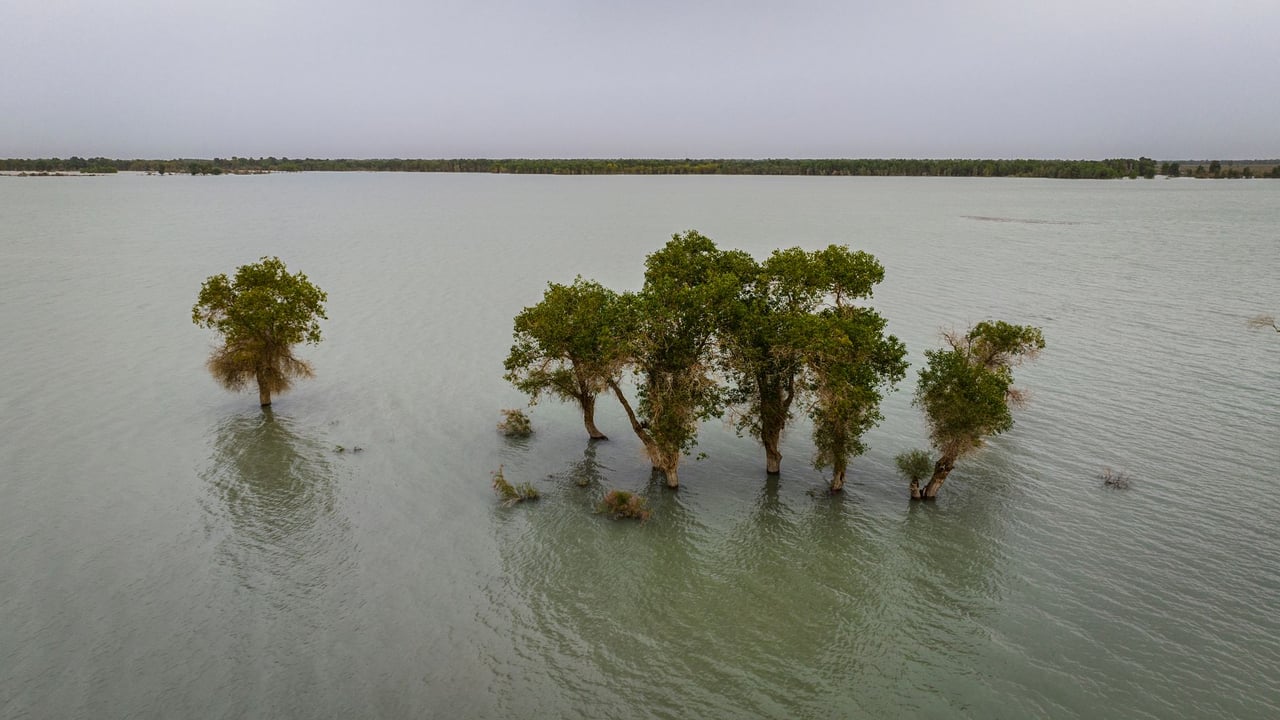
Photo by 光曦 刘 on Pexels
The Brief
China's Ministry of Water Resources has issued warnings that multiple major waterways, including the Yellow River, Taihu Lake, and the Chu River, face potential numbered flood events due to widespread rainfall. Taihu Lake officially registered its No. 1 flood of 2026 as water levels surpassed alert thresholds. In southern Jiangsu province, hydrologic monitoring confirmed that 25 monitoring stations across 18 rivers have recorded water levels exceeding warning lines, prompting local authorities to escalate flood management protocols.
Why it matters
The surge in water levels across the dense river networks of the Yangtze River Delta poses significant risk to urban infrastructure, agricultural output, and manufacturing centers around Taihu Lake. Coordinated floodgate control and reservoir dispatching across regional boundaries are essential to mitigate inundation risks in one of China's most economically vital regions during the peak summer flood season.
China context
Mid-August marks a critical junction in China's flood defense calendar, characterized by overlapping precipitation hazards in northern river basins and typhoon-driven downpours in eastern coastal provinces. Managing water levels around major lakes and river channels requires careful coordination among water conservancy bureaus in Jiangsu, Zhejiang, and Shanghai to balance flood discharge with downstream urban protection.
Editor's View
EDITOR'S VIEW — Analysis and inference, not factual reporting.
The concurrent elevation of flood risks across geographically distant river basins highlights the growing strain on China's water infrastructure during peak summer downpours. While regional water management bureaus in the Yangtze Delta possess sophisticated discharge networks, the rapid rise above warning lines across multiple stations in southern Jiangsu demonstrates how quickly intense precipitation can stress local tributaries. Looking ahead, the focus will center on whether engineering operations can effectively lower Taihu's baseline water level before subsequent rainfall cycles arrive.
What to watch
- Water level trajectories at key Taihu Lake monitoring stations and outflow engineering operations.
- Potential official numbered flood declarations on the Yellow River and Chu River.
- Emergency dispatch measures and local torrent defense responses in high-risk areas.
Key Takeaways
- 1The Ministry of Water Resources warned of potential numbered floods on the Yellow River, Taihu Lake, and Chu River.
- 2Taihu Lake officially triggered its No. 1 flood event of 2026 following sustained rainfall.
- 3Water levels exceeded warning thresholds at 25 stations across 18 rivers in southern Jiangsu province.
China's Ministry of Water Resources has warned that major river systems across the country, including the Yellow River, Taihu Lake, and the Chu River, face heightened risks of triggering official numbered flood designations due to persistent precipitation.
Following continued downpours across the Yangtze River Delta, hydrologic authorities confirmed that Taihu Lake officially declared its No. 1 flood of 2026. The rising water levels have spread across the regional water system, impacting local tributaries throughout eastern China.
In southern Jiangsu province, water conservancy monitoring revealed broad-based pressure on local waterways. A total of 25 hydrologic monitoring stations across 18 rivers in the southern Jiangsu region reported water levels rising beyond their official warning thresholds.
In response to the expanding flood risks, water resource management agencies are maintaining enhanced surveillance, regulating local reservoir capacity, and preparing engineering dispatches. Authorities continue to monitor conditions across both northern and eastern river basins as peak seasonal rainfall tests regional flood control infrastructure.
Sources
- 水利部:黄河、太湖、滁河等河流可能发生编号洪水 — China News Service · 8/10/2026
- 太湖发生2026年第1号洪水 江苏苏南18条河流25站水位超警 — China News Service · 8/11/2026